The trip from St. John's, NL to Tofino, BC — one way — is roughly the same distance as a return drive from Boston to Los Angeles. I didn't know that before we did it. You can't really know it until you've driven it.
Canada is huge. And there was only one way to find that out.
In the first summer of Covid — the "new normal" summer, when the world had stopped and we were all trying to figure out what came next — we decided to take a different kind of adventure. We rented an RV in Toronto and drove west. Our family: myself, my wife Nisreen, our older daughter Zara (then 12), Safia, and our youngest, Sanaa, who was barely toddling. No hotels. No flights. Just the road, the parks, and a Walmart parking lot when nothing else worked.
We knew from the start we couldn't do it all in one summer. Canada doesn't work like that. So we broke it into legs — west in 2020, coming back on a different route, catching the rest in 2021. What follows is how that went.
Ontario: Pancake Bay and the size of Lake Superior
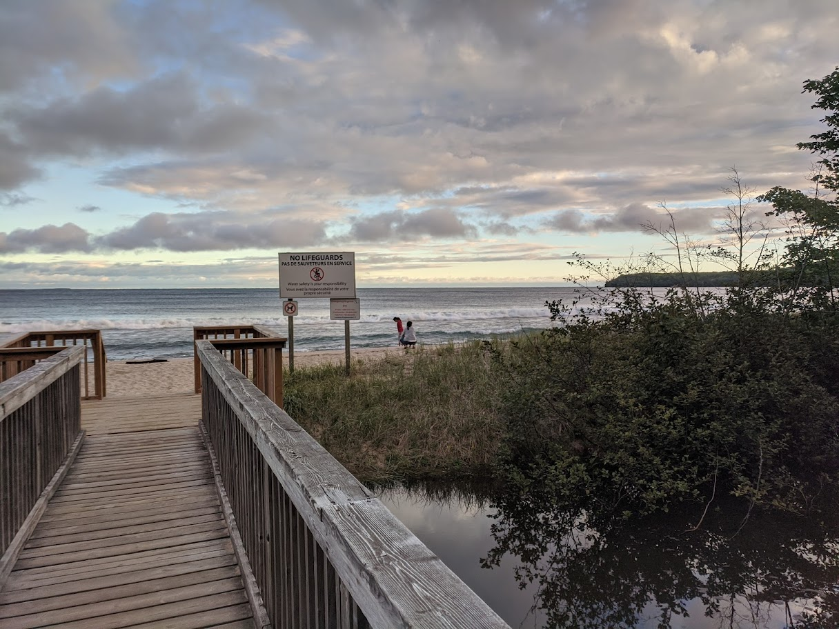
Our first day out we did 741 km from our home in Richmond Hill to Pancake Bay Provincial Park on Lake Superior. We lucked out and got a spot right by the water. That first night, looking out at the lake, was the moment I started to understand what we'd taken on.
Lake Superior is not a lake. I mean, technically it is. But standing at its edge, with waves coming in the same way they do at the ocean, with no other shore in sight — you stop calling it a lake. People have drowned in Lake Superior. Ships have gone down in it. It doesn't behave like a lake. It behaves like a sea that doesn't know it's landlocked.
Day two we drove 500 km to Thunder Bay and camped at a Walmart. Day three was 700 km to Winnipeg. We were covering ground fast — the idea being to slow down once we got west, and take the return journey through Northern Ontario properly. In the middle of nowhere between Thunder Bay and Winnipeg, we stopped at an Esso. And there, at Ontario 17 Lac-des-Milles-Lac, in a gas station at the absolute edge of civilization, was a Punjabi restaurant serving fresh parathas.
In the middle of absolutely nowhere, there was a Punjabi gas station selling fresh parathas. That is Canada. That is exactly Canada.
Winnipeg and the Forks
Winnipeg surprised me. We stopped at Chapters in the morning, then headed to The Forks — the historic district where the Red and Assiniboine rivers meet. Cool stores, a good food hall, interesting vibe. Old logos on everything, like the city is operating on a slightly different timeline than the rest of Canada.
While we were there, someone hit our rear view mirror in a parking lot and left a note. The note had a name and a number. When we called, neither was real. They left a fake name and a fake number just to look good. First accident. Very funny scene in retrospect — not so funny at the time. Wasn't that much in the end, they charged $140 for the damage back in Toronto, but still.
That evening we drove to our first National Park stay at Riding Mountain — campfire, good spot, proper facilities. The kind of reset you need after three days of hard driving.
Saskatchewan: Flat, Wide, and Strangely Beautiful
People make jokes about Saskatchewan being flat. It is flat. But there's something about that flatness, those endless wheat farms and the small pond systems, that gets under your skin. The sky is enormous. You stop looking for landmarks and start looking at the sky itself.
Midway through our drive to Saskatoon, we pulled over for Safia and Zara's Spirit of Math class — they had online school to attend even in the middle of the prairies. I took care of Sanaa and explored the plaza, then met them at a Starbucks. That's worldschooling. That's what it actually looks like.
We camped that night at a rest area at the North Saskatchewan Scenic River Lookout. No hookups, no facilities — just the river and the sound of nothing. Next morning we pressed on to Elk Island National Park in Alberta. The scenery had started to change. Grasslands now. Something different in the air.
Jasper: The Place That Changes You
Entering the mountains is a different experience when you've driven 3,000 km to get there. You've earned them. You understand what's on the other side of them — all that flat, all that distance. The mountains don't feel like scenery. They feel like a reward.
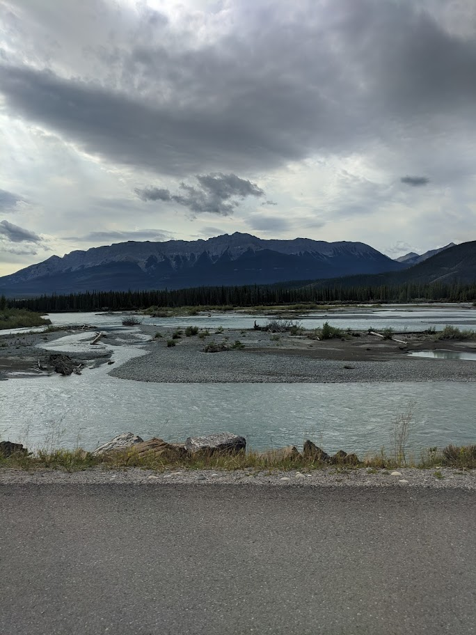
We spent two days in Jasper. Hiked the Trail of the Seven Lakes, which was stunning but genuinely hard with small children. Saw a couple of elk — one on the road, which is both exciting and terrifying in a 30-foot RV. Hiked to a gauge in the evening. There were so many activities — tubing, kayaking, more trails than we could count. We barely scratched the surface.
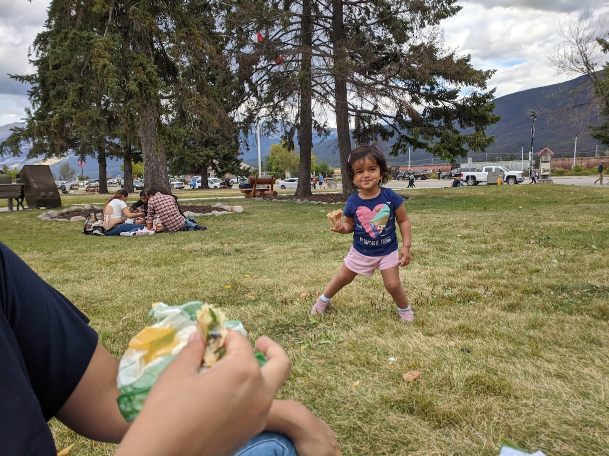
Leaving Jasper was surreal in some unexplainable way. The altitude, or just the vibe in the air. It was fresh and different and hard to explain. I wrote in my notes that night: leaving Jasper feels like leaving somewhere real.
The Drive to Vancouver: One of the Hardest Days
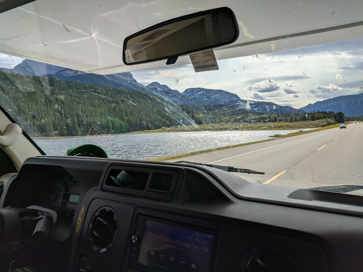
We got up very, very early and tackled one of the most herculean driving days of the whole trip. Jasper to Vancouver. Through the mountains, down into BC's interior — which I wasn't expecting to look like West Texas, arid hills and grasslands, completely different from what we'd just come through — then up through Kamloops, Whistler, and finally into North Vancouver.
An older bike packer at a rest stop told us he lived in Kamloops and said for a nature enthusiast, it was the place to be. He also told us something interesting: there's more rainfall in London, England than in Vancouver. I never knew that. The reputation of Vancouver being rainy is apparently overblown.
We stopped at the Whistler farmers market. I picked up some berries. Also bought some scotch bonnet peppers grown in BC, for my father. They sat in our freezer for a while after we got home. Every time I saw them I thought about that drive.
We pulled into Capilano RV Park in North Vancouver exhausted. One of the hardest but also one of the most scenic drives I've ever done. At many points I genuinely didn't think I could keep going. But you do.
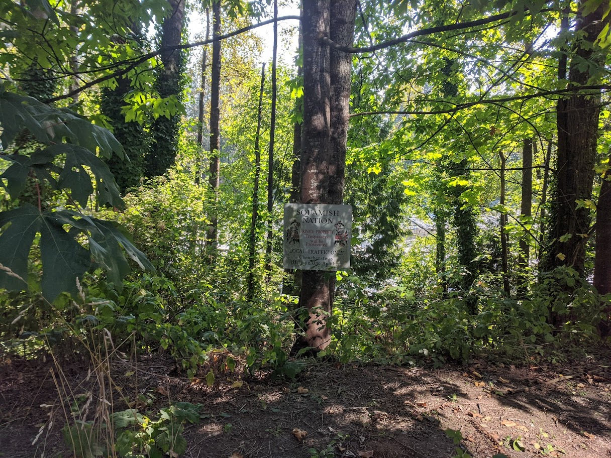
Vancouver: The City That Feels Like Liberation
Vancouver is something else. We walked 3.6 km one day and drove 16 km. We walked over the Lions Gate Bridge. We shopped at Indigo at Park Royal. We had Blaze Pizza. We caught a salmon at Capilano River — I had been trying the day before and nothing, then the next morning a guy was just finishing up and handed me half his catch. We gave half of that to our friends the Mithus, who had taken a faster route down and beaten us there. The other half we brought back to the RV.
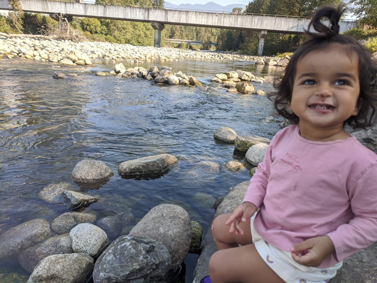
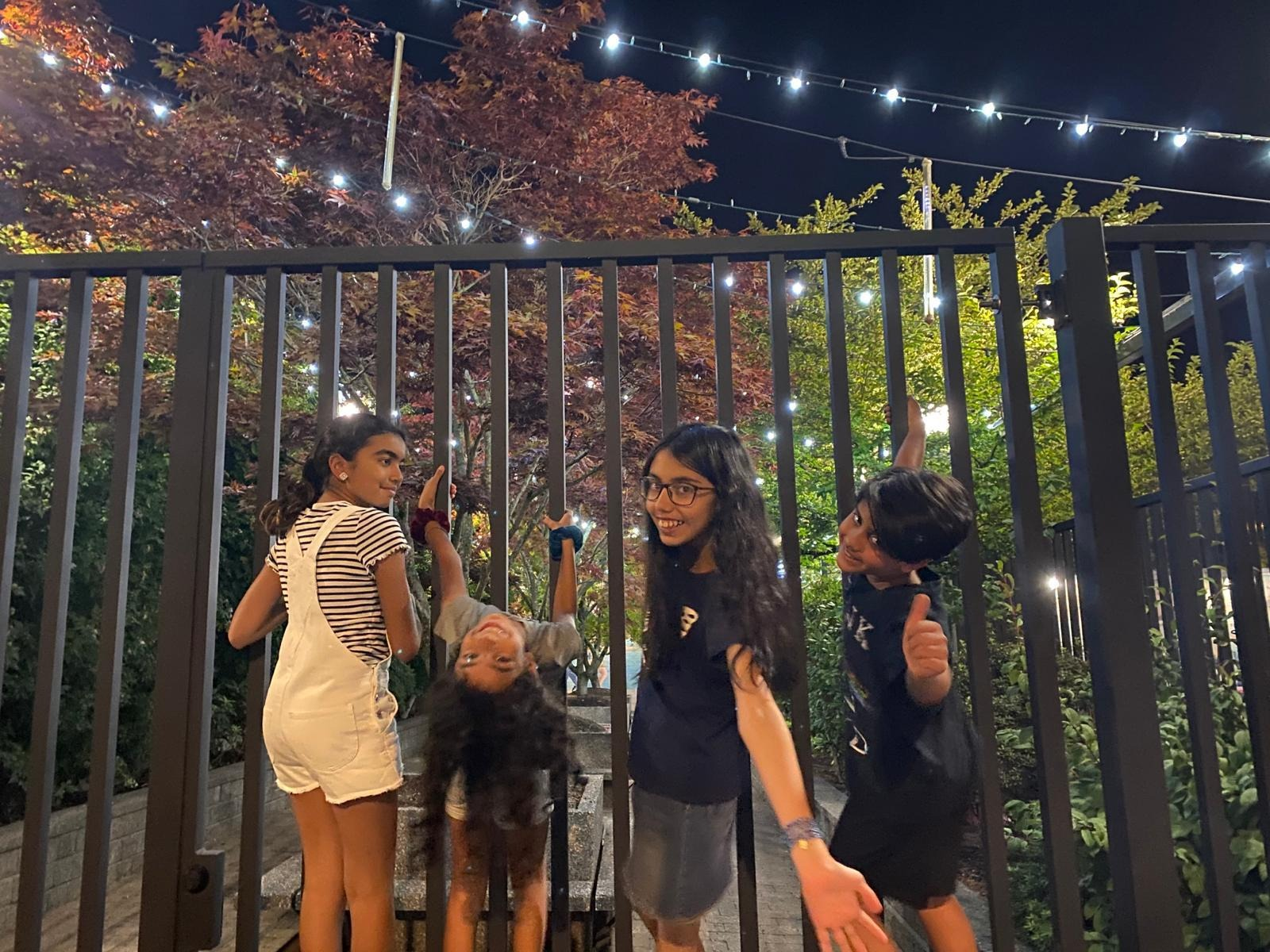
I had called an old friend, Osman Naeem, and we met at a famous Vancouver ice cream institution. Great catching up. Then Granville Island — touristy, fine, nothing to write on and on about, but the market is worth it. Later we met my friend Amman — originally from Karachi, had moved from Singapore to Vancouver — at Stanley Park. I think the feel of the place had a lot to do with how the older girls responded to it. There was a sense of liberation in Vancouver that they felt. The Asian cultural influence, the mix of everything, the energy. It landed differently after weeks on the road.
We stopped for a Subway in a town called Hope, BC. What a cool name.
Vancouver Island: Tofino and the Pacific
We took the ferry from Nanaimo to Vancouver Island. Carrying a full RV onto a ferry was a completely new experience. The drive to Tofino along the Pacific Rim Highway is one of the most difficult and also most beautiful roads I've driven — tight turns, hairpin curves in the dark, arriving late at night to a full park with nowhere to pull in. We ended up parked at the Pacific Rim National Park office. Hard night.
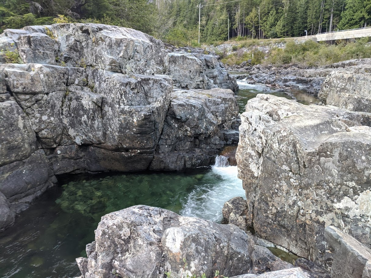
But the morning. The morning made up for everything. Seeing Long Beach at Pacific Rim for the first time — the fact that we had touched one of the westernmost ends of the country, and could finally take our shoes off and walk in the Pacific Ocean — was a feeling I can't fully put into words. We had driven from one end of Canada to the other. We were standing at the Pacific. That means something when you've felt every kilometre of it.
The Return: Lake Louise, Dinosaur Park, and Coming Home
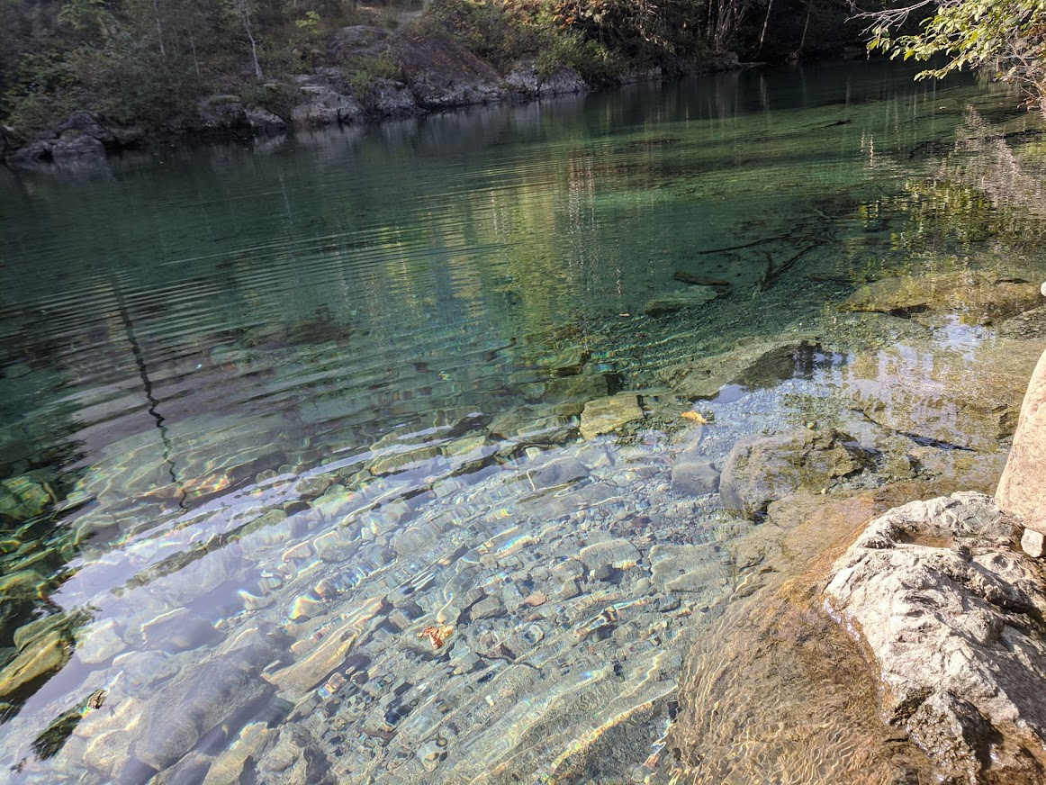
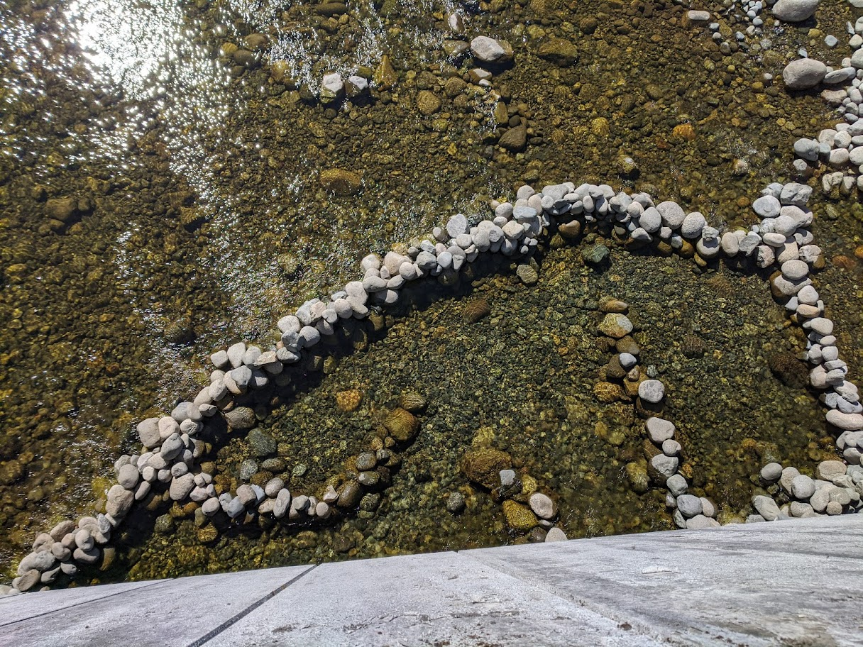
The return leg was where we slowed down. Kelowna, Glacier National Park, then the big one — Lake Louise and Emerald Lake in the same day. Emerald Lake I liked even more than Louise. Half as busy, just as beautiful. We hiked around both. Got some shots from the viewing decks. The older girls built water diversion systems in the streams, which I found fascinating.
Banff village was fun for the family. After all that wilderness, a town with actual shops and bubble tea felt like a luxury. Calgary for laundry — and I cannot stress this enough: laundry and fold is a major milestone in an RV trip. It gives you a fill-up like the gas does. You feel ready to go again.
The Dinosaur Provincial Park in Alberta was one of the most spectacular stops of the entire trip and I didn't see it coming at all. The terrain is unreal — badlands, hoodoos, completely unlike anything else I'd seen in Canada. It reminded me of the Southwest US but different. There are actual dinosaur bones in the ground there. We met our friends from Tofino, who had driven a different route. Had lunch, the kids played. Good day.
Then east: Swift Current, Regina (the kids loved the beautiful houses near the legislature), Winnipeg again, Kenora, and into Northern Ontario proper.
Northern Ontario: The Best Part Nobody Talks About
We stopped at Rushing River Provincial Park for two nights, and this became one of my favourite parts of the whole trip. The place was serene — a beautiful spot where we relaxed, got rejuvenated, did a forum meeting. I went in the water with the kids in the morning. The older girls built stone dams in the river, diverting the flow — pure engineering by instinct.
Entering Ontario from Kenora, I had a feeling I didn't expect. It felt like we really do live in a beautiful province. Up north is a different world — untouched, wonderful, vast in a way that even the prairies aren't, because here the Canadian Shield is everywhere. Rock and pine and water. Colour starting to turn. Somewhere near the Punjabi Esso on the way back we met a guy carrying the meat of a moose or a bear on his ATV. Just another Tuesday in Northern Ontario.
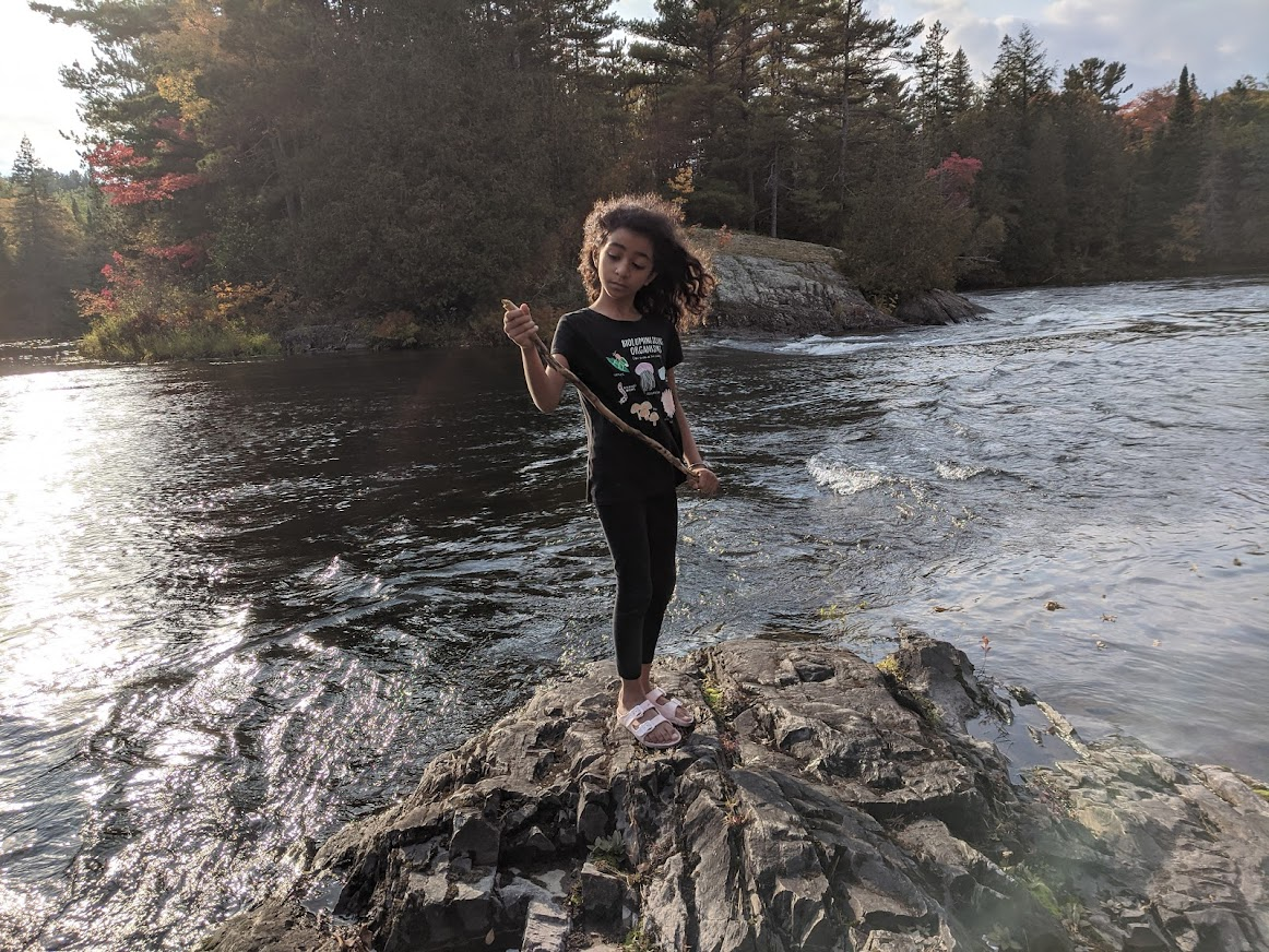
We drove the Group of Seven Highway along Lake Superior on our final leg — Agawa Bay Campground, right on the water. Sunset over the lake. The funny thing is, this might have been the most beautiful place of the entire trip, and almost nobody goes there. The West Coast is beautiful, but everyone knows it. Agawa Bay was ours.
Then Sault Ste. Marie, the Serpent River, Sudbury, and finally home.
The kids had a long trip and home was exactly what the doctor ordered. After a certain point you feel like you want to go back, and I could feel that in all of them. But we had done it. Richmond Hill to Tofino and back. Through six provinces, eleven national and provincial parks, two Walmart overnights, one fake accident note, one caught salmon, a Punjabi Esso at the edge of the world, and more kilometres than I can count.
Canada is not a country you can attempt end to end in one summer. I said that at the start. I stand by it. But you should try anyway.
Leave a comment